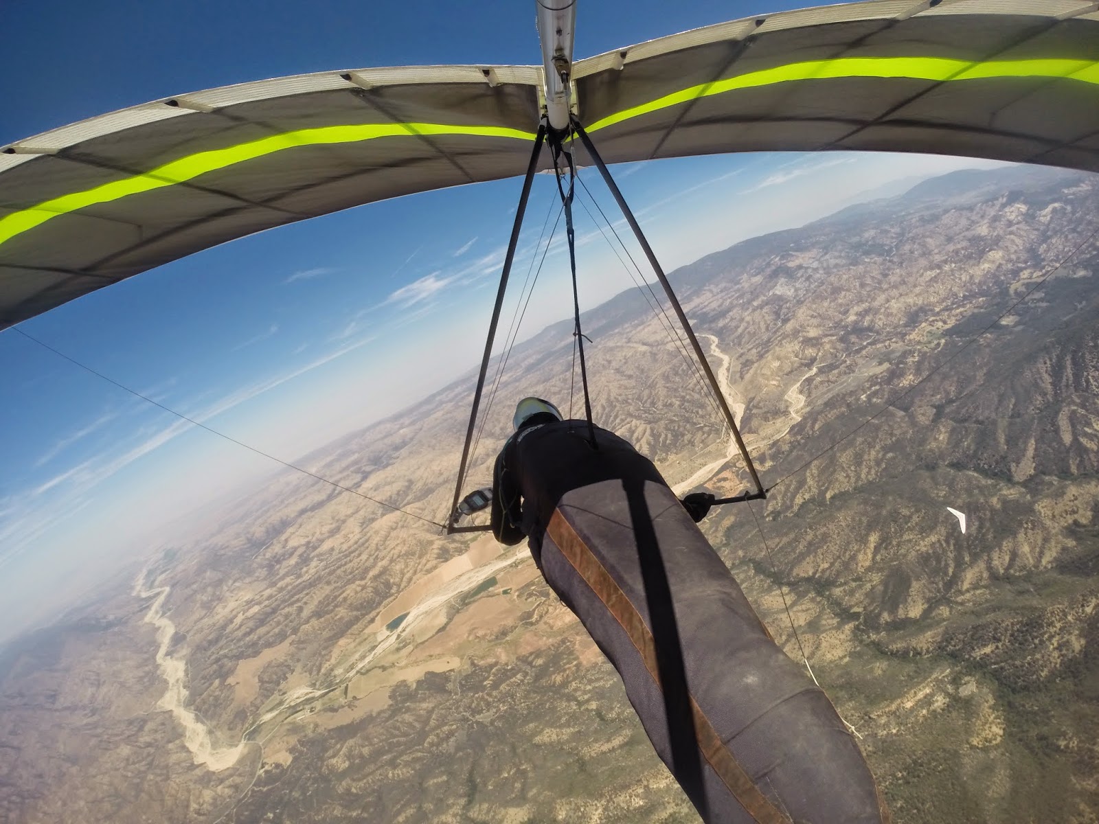
Just TQ an old flying friend and I were up there yesterday. Both of us in need of shaking off some rust. Driving up to launch we were a bit concerned about the wind direction as there was a pretty good north breeze all the way up to the drive up north launch. However, it was coming in nicely at the south launch when we arrived. We launched one right after the other around noon.
 |
| Launch |
It took a little while to find the ticket above the ridge line, but once there things opened up.
Soon after I was making my way against an 8mph headwind to the Chute from about 13k. Being a bit lower Todd opted to fudge back toward launch in search of a better climb.
 |
| Climbing out with TQ behind launch |
The Chute was bouyant but I seemed to lose everything I tried to turn in before completing my 360s. But I had plenty of altitude to play with so I just kept on plugging up wind along the ridge line. At about the same time that TQ announced on the radio that a cumi was forming over the ridge my vario started screaming...and didn't stop until I was just north of 14k.
 |
| East bound from the Chute at 14k |
From the east end of the Chute I worked a seam between Guillermo and Grade Valley. Once near Guilermo I angled toward it. But like the west end of the Chute the air above it was buoyant but I was unable to find something to core. Rather than stopping to search I just kept plugging forward along the foothills just south of Lockwood. The problem was the lower I got the stronger the headwind as the east was funneling through the gap between Frazier and Alamo Mountain. Below 9k just short of Frazier, I was flying against a 15mph headwind. Staying along the same line didn't seem very prudent so opted to veer north into Lockwood.
Of course when your in the middle of the valley you just hope you might flounder into something. I never did until saw a crow start to turn circles near the airport. I headed in his direction and was rewarded with the strongest (and smoothest) thermal I've been in in long time. And then just like that it was gone. Here I was thinking that I'd get another chance at Frazier, but instead I was running downwind in the other direction back in flounder mode. I was down to about 6300 ft before picking up some scraps above Boy Scout Road. At about the same time TQ was reporting that he just gotten to Guillermo with 12k. To the west of us running north to south from the middle of Dry Canyon to the middle of the Chute a cloud street had set up along the East/West convergence line.

To make my flight more of a triangle I opted to head to the cloud that was farthest to the north. It was about halfway up Dry Canyon. I found something nearby that got me close to base and then after that I headed due south along the convergence line. Again the air was buoyant but I never really found something to stop for. I turned some half ass circles above the Chute below a cloud, but at 12,500 ft I already had plenty altitude to make it out to Ojai. And that's what I did. As did TQ not much longer after me.
Distance: 47.5 Miles
Max Altitude: 14,350
Duration: 3 Hours
 |
| East end of Lockwood Valley |
Of course when your in the middle of the valley you just hope you might flounder into something. I never did until saw a crow start to turn circles near the airport. I headed in his direction and was rewarded with the strongest (and smoothest) thermal I've been in in long time. And then just like that it was gone. Here I was thinking that I'd get another chance at Frazier, but instead I was running downwind in the other direction back in flounder mode. I was down to about 6300 ft before picking up some scraps above Boy Scout Road. At about the same time TQ was reporting that he just gotten to Guillermo with 12k. To the west of us running north to south from the middle of Dry Canyon to the middle of the Chute a cloud street had set up along the East/West convergence line.
 |
| Convergence line out in the distance |
I just needed to get up at the end of Boy Scout and we both could B-line it to the street and then just bridge it out to Ojai. And get up I did. Once I drifted over the foothills on the west end of Lockwood everything opened up. Soon I was back to 14k flying down wind to the cloud street. TQ took a slightly different line that didn't work quite as well, but he had no problem making it to the convergence line.

To make my flight more of a triangle I opted to head to the cloud that was farthest to the north. It was about halfway up Dry Canyon. I found something nearby that got me close to base and then after that I headed due south along the convergence line. Again the air was buoyant but I never really found something to stop for. I turned some half ass circles above the Chute below a cloud, but at 12,500 ft I already had plenty altitude to make it out to Ojai. And that's what I did. As did TQ not much longer after me.
Distance: 47.5 Miles
Max Altitude: 14,350
Duration: 3 Hours

